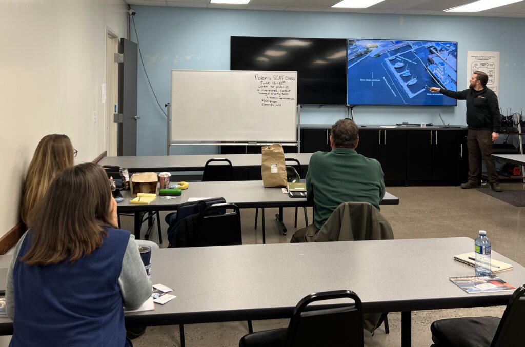
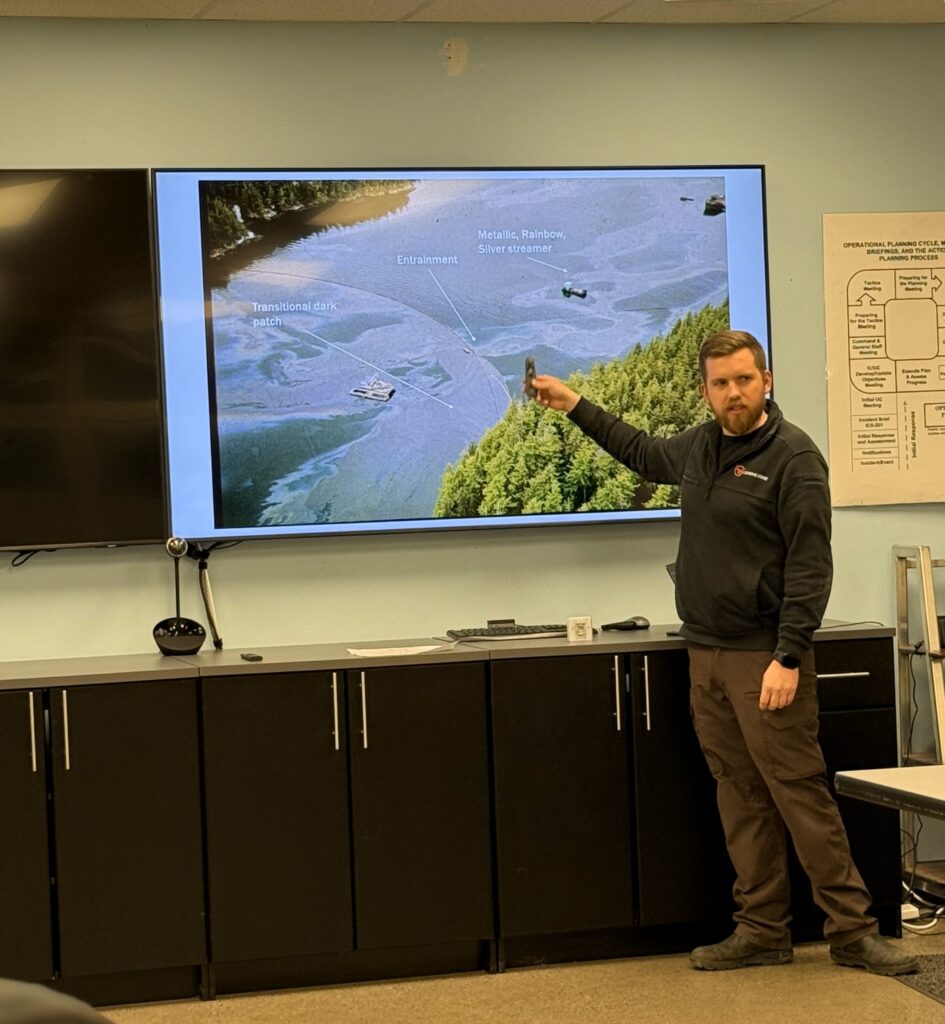
Clean Rivers Cooperative staff trained on Aerial Observation of Oil on Water during an 8-hour classroom-based training program developed and taught by Connor Barnes with Leading Edge Environmental and Emergency Services on April 3, 2025. Clean Rivers was happy to host the class at our Operations Facility. This training ensures responders can visually identify oil spill characteristics, such as thickness, distribution, and sheen, and communicate findings effectively using standardized terminology. These resources help responders prioritize cleanup efforts and support incident command decisions during spill response operations. In addition, aerial observation can support operations by directing removal operations towards the leading edge of the spill and reporting conditions that are not easily identified from the ground like equipment failures such as boom entrainment where the spill is breaching the containment either under or over the boom.
This training class is designed in accordance with meeting the requirements for compliance with federal 33 CFR 155, 33 CRF 154, Washington State WAC 173-185, and American Society for Testing and Materials ASTM F1779-24 focusing on equipping personnel with the skills to detect, assess, and report oil from fixed wing aircraft, helicopters, and unmanned Aircraft Systems (UAS) often referred to as drones. Currently, there is no regulation for aerial observation in the State of Oregon – however, Oregon Department of Environmental Quality has recently started an aerial observation program led by Emergency Response Planner Scott Smith.
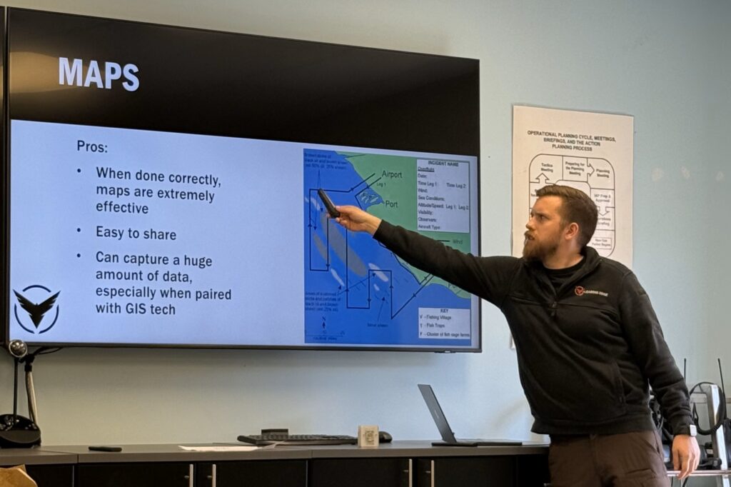
The full-day training was organized into modules that addressed the many considerations of aerial observation starting with a basic review of oil types and natural degradation; standard terminology for aerial observation and the differences between the National Oceanic and Atmospheric Administration (NOAA), American Society for Testing and Materials (ASTM), and the Bonn Agreement (Europe) standard terminology; oil code color, thickness, and concentration values; types of equipment used including aircraft, cameras, communication equipment, and sensors; as well as reporting standards and mapping.
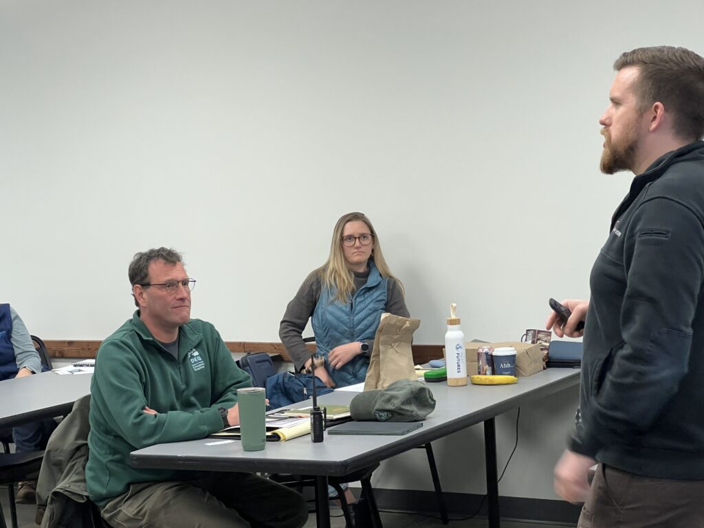
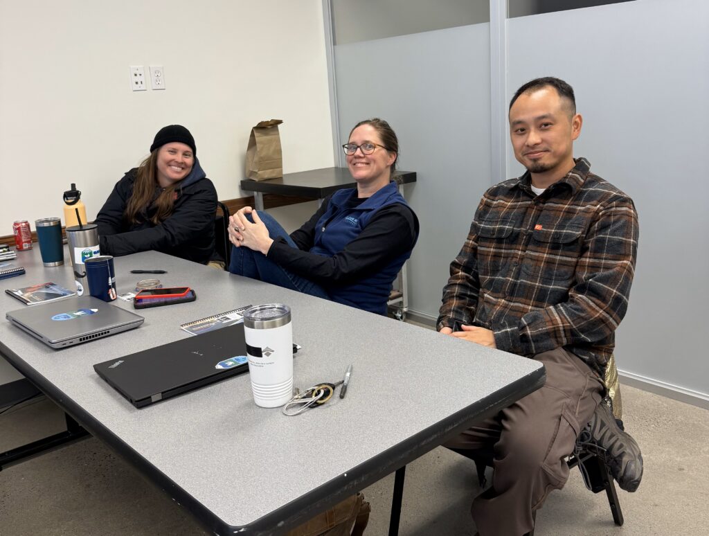
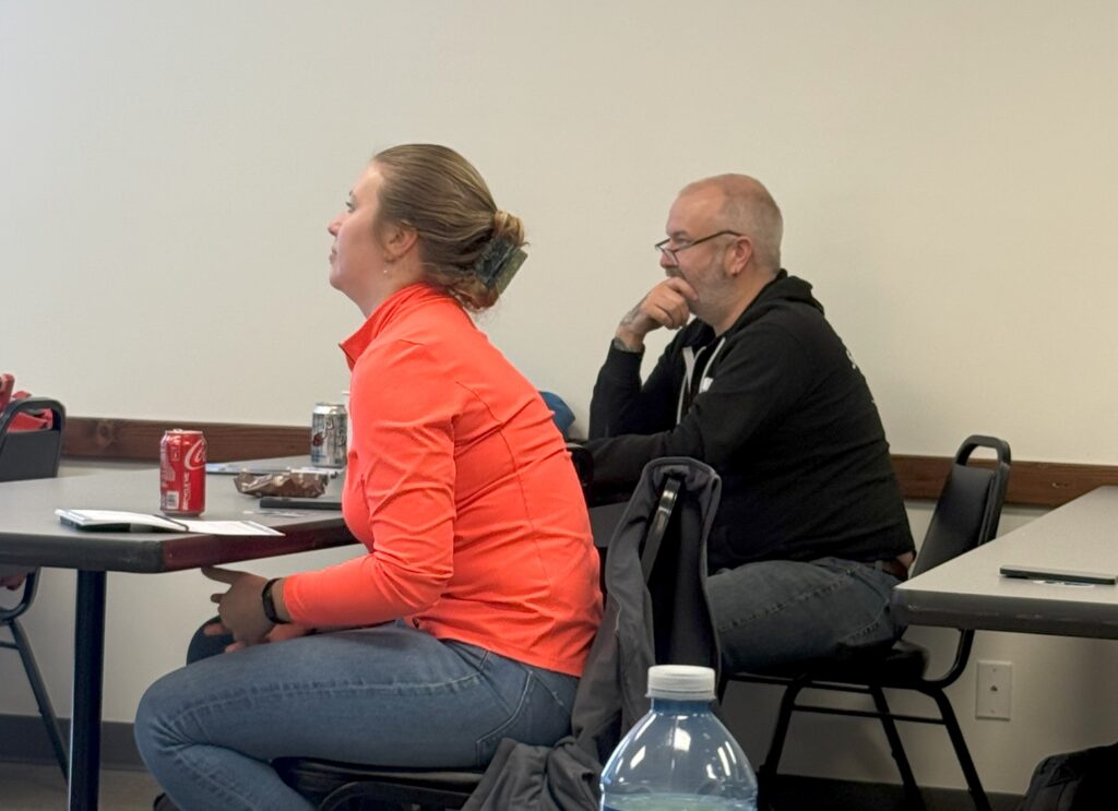
In addition to Clean Rivers staff, the class was attended by personnel from Republic Services, Island Oil Spill Association in the San Juan Islands of the Puget Sound, Polaris Applied Sciences based in Seattle, Washington, BP Cherry Point Refinery Emergency Management Team in Blaine, WA, and Oregon Department of Environmental Quality’s State On-Sean Coordinator Kevin Chann and Scott Smith. Each attendee brought their own unique experience and perspective to the discussions. Polaris Applied Sciences representative, Samantha Iliff provided the perspective of how Aerial Observation supports Shoreline Clean up and Assessment Teams (SCAT), and vice versa, SCAT can support the aerial observations by confirming discoveries from the air. Other discussions ranged from pros and cons of using different types of aircraft to the best types of cameras to use for mapping.
This training is valuable in that it equips responders with critical skills to efficiently assess and communicate the spread and behavior of oil during a spill and enhances responders’ ability to make timely and informed decisions to improve containment and mitigation strategies. For Clean Rivers staff, this training was an opportunity for continuous improvement and skill enhancement. Clean Rivers Response Managers are unlikely to perform the role of the aerial observer. However, with this type of training our Response Managers have the ability to interpret the information communicated by the aerial observer and direct operations accordingly. This ultimately enables Clean Rivers to better serve our membership and protect our waterways.